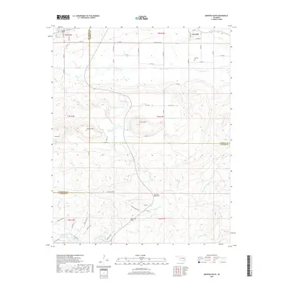
2018 Map of Quinton South
USGS Topo · Published 2018About this map
The Sans Bois Mountains dominate this 2018 landscape, defining the rugged borderlands between Pittsburg, Haskell, and Latimer counties. The northern portion of the sheet is marked by the small settlement of Lewisville and its associated Lewisville Cem, while the central terrain rises toward the prominent heights of Tucker Knob and Panther Mtn. Water management and natural drainages are central to the area's geography, featuring Quinton City Lake, Coblentz Lake, and the winding course of Sans Bois Cr. To the south, the terrain descends into the Black-Gum Flats near the banks of the Fourche Maline, illustrating a transition from mountain ridges to alluvial plains. This survey captures a modern look at rural Oklahoma, where family roads and section lines navigate around significant natural obstacles like Rough Canyon and Shoe Mtn.
Find a feature on this map
63 named features on this map. Tap any name to fly to it.
Don’t see what you’re looking for? This feature index may not catch every label — zoom into the map to look around manually.
Map Details
Editions of this 2018 Quinton South Map
This is the sole edition of this map. No revisions or reprints were ever made.
Other maps of this area

1900 · Sansbois
USGS Topo · 1:125,000

1901 · Tuskahoma
USGS Topo · 1:125,000

1908 · Tuskahoma
USGS Topo · 1:125,000

1909 · Tuskahoma
USGS Topo · 1:125,000

1909 · Sans Bois
USGS Topo · 1:125,000

1911 · Sansbois
USGS Topo · 1:125,000

1940 · Red Oak
USGS Topo · 1:62,500

1943 · Red Oak
USGS Topo · 1:62,500

1946 · Fort Smith
USGS Topo · 1:250,000

1950 · Mcalester
USGS Topo · 1:250,000