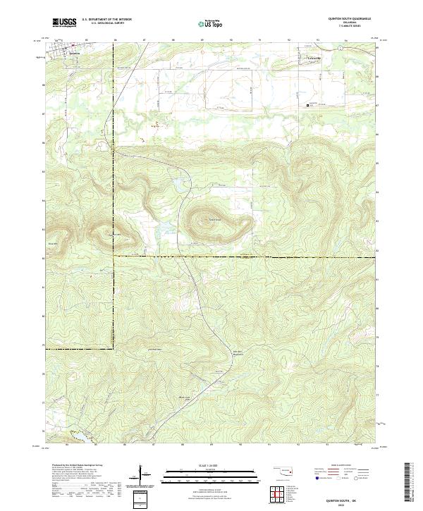
2022 Map of Quinton South
USGS Topo · Published 2022About this map
Lewisville and the southern outskirts of Quinton anchor this corner of southeastern Oklahoma, where the landscape transitions from creek-fed lowlands into the sharp relief of the Sans Bois Mountains. The northern reaches of the map are defined by the meandering Sans Bois Cr and its tributaries, including Mill Cr, which cuts through the foothills near Shoe Mtn and Panther Mtn. These peaks, along with the prominent Tucker Knob, provide a glimpse into the topographical barriers that historically shaped local travel and settlement patterns.
Find a feature on this map
54 named features on this map. Tap any name to fly to it.
Don’t see what you’re looking for? This feature index may not catch every label — zoom into the map to look around manually.
Map Details
Editions of this 2022 Quinton South Map
This is the sole edition of this map. No revisions or reprints were ever made.
Other maps of this area

1900 · Sansbois
USGS Topo · 1:125,000

1901 · Tuskahoma
USGS Topo · 1:125,000

1908 · Tuskahoma
USGS Topo · 1:125,000

1909 · Tuskahoma
USGS Topo · 1:125,000

1909 · Sans Bois
USGS Topo · 1:125,000

1911 · Sansbois
USGS Topo · 1:125,000

1940 · Red Oak
USGS Topo · 1:62,500

1943 · Red Oak
USGS Topo · 1:62,500

1946 · Fort Smith
USGS Topo · 1:250,000

1950 · Mcalester
USGS Topo · 1:250,000