
1967 Map of Quitaque
USGS Topo · Published 1969About this map
Quitaque sits at the northern edge of this West Texas landscape, serving as a hub for the surrounding ranching and agricultural land. The town is marked by its grid of streets, Water Tanks, and a nearby Landing Area, reflecting its role as a regional center in the late 1960s. The Fort Worth and Denver railroad cuts diagonally across the plains, while an Old Railroad Grade to the south hints at earlier transportation corridors that once linked this remote area.
Find a feature on this map
26 named features on this map. Tap any name to fly to it.
Don’t see what you’re looking for? This feature index may not catch every label — zoom into the map to look around manually.
Map Details
Editions of this 1967 Quitaque Map
This is the sole edition of this map. No revisions or reprints were ever made.
Other maps of this area

1954 · Plainview
USGS Topo · 1:250,000

1958 · Plainview
USGS Topo · 1:250,000

1967 · Quitaque Peaks
USGS Topo · 1:24,000

1967 · Edgemon Lake
USGS Topo · 1:24,000

1967 · Hay Lake
USGS Topo · 1:24,000

1967 · Flomot
USGS Topo · 1:24,000
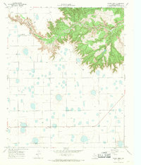
1967 · Wilson Creek
USGS Topo · 1:24,000

1967 · Turkey
USGS Topo · 1:24,000

1967 · Lake Theo
USGS Topo · 1:24,000
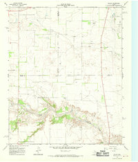
1967 · Folley
USGS Topo · 1:24,000