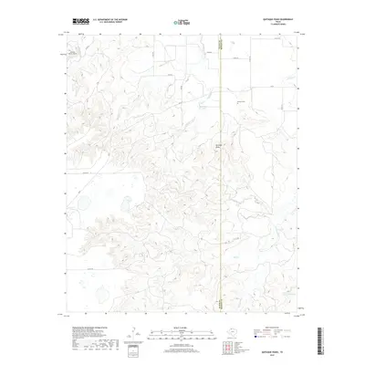
2019 Map of Quitaque Peaks
USGS Topo · Published 2019About this map
Quitaque Peaks rise as a prominent topographical landmark along the county line where Floyd and Motley counties meet in the Texas Panhandle. This high-relief terrain is dissected by an intricate network of drainage systems, including Quitaque Cr, Smith Cr, and Roberts Creek, which flow toward the N Pease River in the southeast. The landscape reflects a mix of ranching accessibility and isolated landmarks, with FM 97 and several county roads providing passage through the breaks.
Find a feature on this map
26 named features on this map. Tap any name to fly to it.
Don’t see what you’re looking for? This feature index may not catch every label — zoom into the map to look around manually.
Map Details
Editions of this 2019 Quitaque Peaks Map
This is the sole edition of this map. No revisions or reprints were ever made.
Other maps of this area

1954 · Plainview
USGS Topo · 1:250,000

1958 · Plainview
USGS Topo · 1:250,000

1966 · Lockney 4 SW
USGS Topo · 1:24,000

1967 · Quitaque
USGS Topo · 1:24,000

1967 · Quitaque Peaks
USGS Topo · 1:24,000

1967 · Dick Moore Canyon
USGS Topo · 1:24,000

1967 · Edgemon Lake
USGS Topo · 1:24,000

1967 · Flomot
USGS Topo · 1:24,000
1967 · Wilson Creek
USGS Topo · 1:24,000

1967 · Whiteflat
USGS Topo · 1:24,000