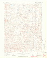
1956 Map of Rabbit Ears Peak
USGS Topo · Published 1970About this map
Continental Divide winds through this high-altitude landscape, defining the jagged boundary between Routt National Forest and Arapaho National Forest. The map is centered on the unmistakable profile of Rabbit Ears Peak and the nearby Rabbit Ears Pass, which served as a critical crossing for early travelers in north-central Colorado. Below the peaks, a series of family-held properties including the McGowan Homestead, Anderson Ranch, and De Berard Ranch suggest a history of high-country ranching and early mountain habitation.
Find a feature on this map
84 named features on this map. Tap any name to fly to it.
Don’t see what you’re looking for? This feature index may not catch every label — zoom into the map to look around manually.
Map Details
Editions of this 1956 Rabbit Ears Peak Map
3 editions found

Other maps of this area

1911 · Hahns Peak
USGS Topo · 1:125,000

1913 · Hahns Peak
USGS Topo · 1:125,000

1954 · Craig
USGS Topo · 1:250,000

1955 · Buffalo Pass
USGS Topo · 1:24,000

1955 · Teal Lake
USGS Topo · 1:24,000

1955 · Coalmont
USGS Topo · 1:24,000

1955 · Mount Ethel
USGS Topo · 1:62,500

1955 · Walden
USGS Topo · 1:62,500

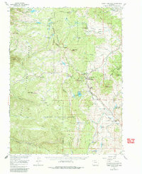
1956 · Rabbit Ears Peak
USGS Topo · 1:24,000

1956 · Lake Agnes
USGS Topo · 1:24,000