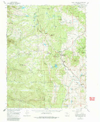
1956 Map of Rabbit Ears Peak
USGS Topo · Published 1986About this map
The Continental Divide carves through this high-altitude landscape of the Rabbit Ears Range, where the boundary of Routt National Forest meets the Arapaho National Forest. This 1956 survey documents the rugged intersection of Jackson, Routt, and Grand counties, defined by the iconic silhouette of Rabbit Ears Peak and the critical high-mountain crossing at Rabbit Ears Pass. The map reveals a working alpine environment where early recreational infrastructure like the Baker Mountain Ski Tow and Rabbit Ears Lodge exists alongside established agricultural holdings.
Find a feature on this map
73 named features on this map. Tap any name to fly to it.
Don’t see what you’re looking for? This feature index may not catch every label — zoom into the map to look around manually.
Map Details
Editions of this 1956 Rabbit Ears Peak Map
3 editions found

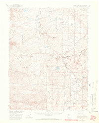
Other maps of this area

1911 · Hahns Peak
USGS Topo · 1:125,000

1913 · Hahns Peak
USGS Topo · 1:125,000

1954 · Craig
USGS Topo · 1:250,000

1955 · Buffalo Pass
USGS Topo · 1:24,000

1955 · Teal Lake
USGS Topo · 1:24,000

1955 · Coalmont
USGS Topo · 1:24,000

1955 · Mount Ethel
USGS Topo · 1:62,500

1955 · Walden
USGS Topo · 1:62,500

1956 · Rabbit Ears Peak
USGS Topo · 1:24,000

1956 · Lake Agnes
USGS Topo · 1:24,000