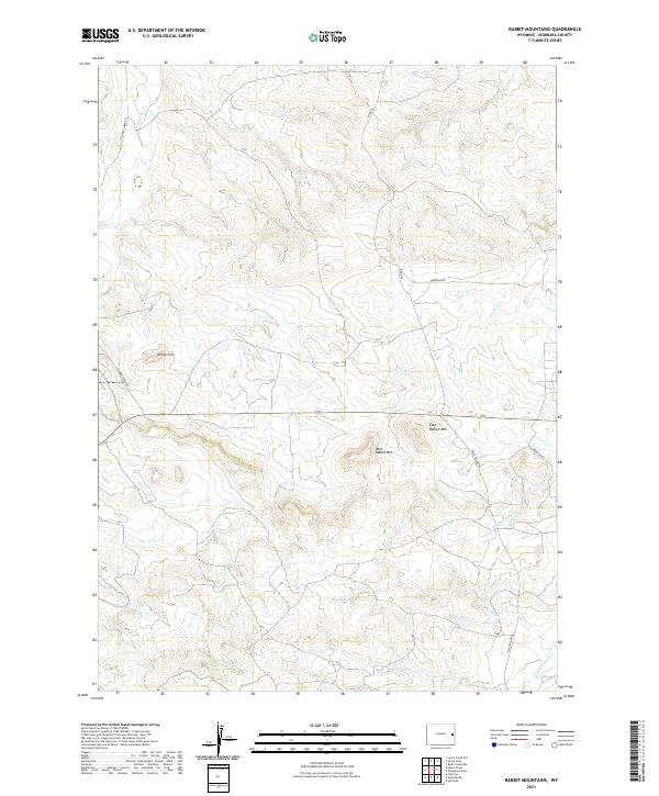
2021 Map of Rabbit Mountains
USGS Topo · Published 2021About this map
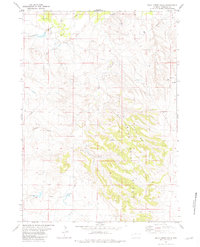
West Rabbit Mtn and East Rabbit Mtn rise above a high plains landscape defined by the drainage systems of the Niobrara region. The terrain is deeply inscribed with ephemeral and perennial waterways, including the winding course of Lance Cr in the northwest and Young Woman Cr to the southeast. This modern topo sheet illustrates a ranching and rural landscape where township and range lines dictate the modern road network, visible in the long, straight stretches of Meridian Rd and Twentyeight Rd. The interior of the quadrangle remains relatively open, dominated by the peaks of the Rabbit Mountains and smaller landmarks like White Hill. These features provide essential orientation for researchers studying the land use patterns and topographical character of eastern Wyoming in the early twenty-first century.
Find a feature on this map
18 named features on this map. Tap any name to fly to it.
Don’t see what you’re looking for? This feature index may not catch every label — zoom into the map to look around manually.
Map Details
Editions of this 2021 Rabbit Mountains Map
This is the sole edition of this map. No revisions or reprints were ever made.
Other maps of this area

1954 · Torrington
USGS Topo · 1:250,000

1955 · Newcastle
USGS Topo · 1:250,000

1958 · Torrington
USGS Topo · 1:250,000

1958 · Newcastle
USGS Topo · 1:250,000

1981 · Telephone Draw
USGS Topo · 1:24,000
1981 · Rabbit Mountains
USGS Topo · 1:24,000
1981 · Hat Rock
USGS Topo · 1:24,000

1981 · Lance Creek NW
USGS Topo · 1:24,000
1981 · Funny Rock
USGS Topo · 1:24,000
1981 · Buck Creek Hills
USGS Topo · 1:24,000