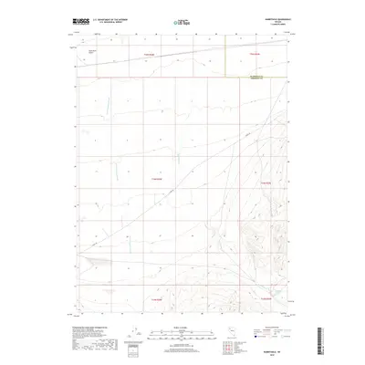
2018 Map of Rabbithole
USGS Topo · Published 2018About this map
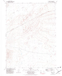
The Black Rock Desert transitions into a network of arid drainages and springs in this northwestern Nevada study. The landscape is defined by the ephemeral water systems of Granite Springs Wash and Rabbithole Cr, which flow toward the desert floor from the more elevated eastern terrain. A critical water source for travelers in this remote region, Rabbithole Springs is located in the southeastern corner, serving as a focal point for local geography. The primary artery through this sparsely populated territory is Jungo Rd, which cuts diagonally across the quadrangle. The map also delineates the administrative boundary between Humboldt Co and Pershing Co, providing a clear record of how these vast counties meet within the Great Basin's drainage patterns.
Find a feature on this map
12 named features on this map. Tap any name to fly to it.
Don’t see what you’re looking for? This feature index may not catch every label — zoom into the map to look around manually.
Map Details
Editions of this 2018 Rabbithole Map
This is the sole edition of this map. No revisions or reprints were ever made.
Other maps of this area

1931 · Lovelock
USGS Topo · 1:250,000

1935 · Lovelock
USGS Topo · 1:250,000

1955 · Lovelock
USGS Topo · 1:250,000

1959 · Lovelock
USGS Topo · 1:250,000
1981 · Sheep Spring
USGS Topo · 1:24,000
1981 · Black Rock Point East
USGS Topo · 1:24,000
1981 · Rabbithole NE
USGS Topo · 1:24,000

1981 · Dead Horse Canyon NE
USGS Topo · 1:24,000

1981 · Placerites
USGS Topo · 1:24,000
1981 · Cholona
USGS Topo · 1:24,000