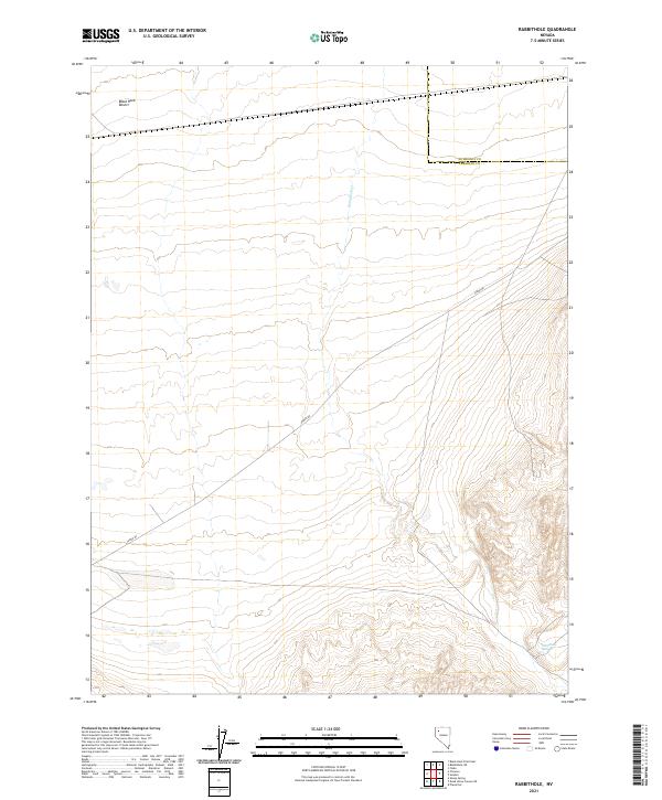
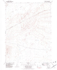
2021 Map of Rabbithole
USGS Topo · Published 2021About this map
Black Rock Desert reaches into the northern margins of this high-desert landscape at the boundary of Humboldt and Pershing counties. The terrain is defined by the stark transition from the level desert floor to the rising upland slopes where Rabbithole Creek drains toward the alkali flats. This corner of Nevada is historically characterized by its isolation and its vital water sources, most notably at Rabbithole Springs in the southeastern quadrant. The presence of Jungo Road provides the primary passage through this expanse, following a long-established transit corridor through the Great Basin. The map details the intricate Public Land Survey System township and range divisions, including t34n r28e and t35n r29e, reflecting the formal grid imposed upon this unpopulated desert wilderness.
Find a feature on this map
11 named features on this map. Tap any name to fly to it.
Don’t see what you’re looking for? This feature index may not catch every label — zoom into the map to look around manually.
Map Details
Editions of this 2021 Rabbithole Map
This is the sole edition of this map. No revisions or reprints were ever made.
Other maps of this area

1931 · Lovelock
USGS Topo · 1:250,000

1935 · Lovelock
USGS Topo · 1:250,000

1955 · Lovelock
USGS Topo · 1:250,000

1959 · Lovelock
USGS Topo · 1:250,000
1981 · Sheep Spring
USGS Topo · 1:24,000
1981 · Black Rock Point East
USGS Topo · 1:24,000
1981 · Rabbithole NE
USGS Topo · 1:24,000

1981 · Dead Horse Canyon NE
USGS Topo · 1:24,000

1981 · Placerites
USGS Topo · 1:24,000
1981 · Cholona
USGS Topo · 1:24,000