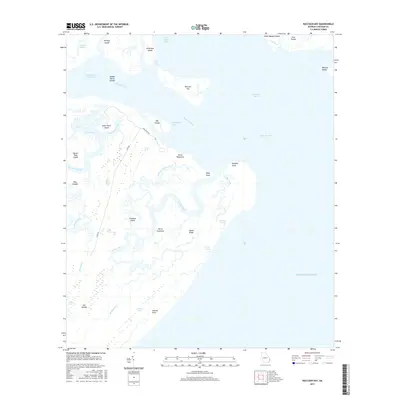
2017 Map of Raccoon Key
USGS Topo · Published 2017About this map
Ossabaw Island dominates this coastal landscape, showing a complex network of salt marshes, tidal creeks, and hammock land as it appeared in 2017. The transition from the Ogeechee River and Ossabaw Sound into the Atlantic Ocean is marked by a series of low-lying landforms like Raccoon Key and the Egg Islands. Internal access to the island is limited to a few primitive routes such as Main House Rd and S End Rd, which connect points of interest like Horse Hammock and North Field.
Find a feature on this map
45 named features on this map. Tap any name to fly to it.
Don’t see what you’re looking for? This feature index may not catch every label — zoom into the map to look around manually.
Map Details
Editions of this 2017 Raccoon Key Map
This is the sole edition of this map. No revisions or reprints were ever made.
Other maps of this area

1920 · Wassaw Sound
USGS Topo · 1:62,500

1928 · St Catherines Island
USGS Topo · 1:62,500

1943 · St Catherines Island
USGS Topo · 1:62,500

1944 · Ossabaw Island
USGS Topo · 1:62,500

1945 · St. Catherine's Island
USGS Topo · 1:62,500

1945 · Ossabaw Island
USGS Topo · 1:62,500

1945 · Wassaw Sound
USGS Topo · 1:62,500

1946 · Brunswick
USGS Topo · 1:250,000

1948 · Brunswick
USGS Topo · 1:250,000
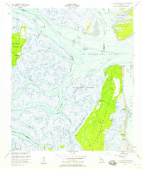
1954 · St Catherines Sound
USGS Topo · 1:24,000