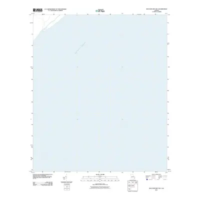
2011 Map of Raccoon Key OE S
USGS Topo · Published 2011About this map
The Atlantic Ocean dominates this coastal survey, which focuses on the offshore waters of Georgia’s maritime boundary. Published by the U.S. Geological Survey in the early 21st century, the map provides a dedicated look at the open sea and the continental shelf, a region vital for nautical navigation and ecological monitoring. Unlike mainland quadrangles filled with roads and structures, this specific sheet serves as a primary reference for the bathymetry and hydrographic character of the waters south of the major barrier islands. It records a precise moment in the shifting coastal environment of Chatham County, documented using satellite imagery and modern elevation datasets to assist in tracking long-term changes in the Atlantic coastline.
Find a feature on this map
1 named feature on this map. Tap any name to fly to it.
Don’t see what you’re looking for? This feature index may not catch every label — zoom into the map to look around manually.
Map Details
Editions of this 2011 Raccoon Key OE S Map
This is the sole edition of this map. No revisions or reprints were ever made.
Other maps of this area

1920 · Wassaw Sound
USGS Topo · 1:62,500

1928 · St Catherines Island
USGS Topo · 1:62,500

1943 · St Catherines Island
USGS Topo · 1:62,500

1944 · Ossabaw Island
USGS Topo · 1:62,500

1945 · St. Catherine's Island
USGS Topo · 1:62,500

1945 · Ossabaw Island
USGS Topo · 1:62,500

1945 · Wassaw Sound
USGS Topo · 1:62,500

1946 · Brunswick
USGS Topo · 1:250,000

1948 · Brunswick
USGS Topo · 1:250,000
1954 · St Catherines Sound
USGS Topo · 1:24,000