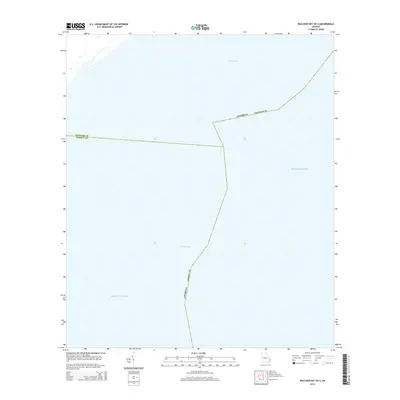
2014 Map of Raccoon Key OE S
USGS Topo · Published 2014About this map
Peters Bay and the open Atlantic Ocean define this coastal Georgia region, marking the aquatic intersection where Chatham County meets Liberty County. This 2014 survey captures a purely maritime environment, focusing on the intricate bathymetry and shifting boundaries of the coastal sound. The map is primarily an offshore study, illustrating how political jurisdictions extend into the Atlantic waters. It serves as a specific record of the state and county line demarcations across the bay, which are critical for maritime navigation and jurisdictional clarity in the marshes and open water south of Savannah.
Find a feature on this map
5 named features on this map. Tap any name to fly to it.
Don’t see what you’re looking for? This feature index may not catch every label — zoom into the map to look around manually.
Map Details
Editions of this 2014 Raccoon Key OE S Map
This is the sole edition of this map. No revisions or reprints were ever made.
Other maps of this area

1920 · Wassaw Sound
USGS Topo · 1:62,500

1928 · St Catherines Island
USGS Topo · 1:62,500

1943 · St Catherines Island
USGS Topo · 1:62,500

1944 · Ossabaw Island
USGS Topo · 1:62,500

1945 · St. Catherine's Island
USGS Topo · 1:62,500

1945 · Ossabaw Island
USGS Topo · 1:62,500

1945 · Wassaw Sound
USGS Topo · 1:62,500

1946 · Brunswick
USGS Topo · 1:250,000

1948 · Brunswick
USGS Topo · 1:250,000
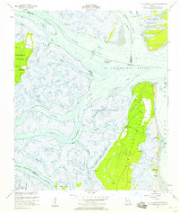
1954 · St Catherines Sound
USGS Topo · 1:24,000