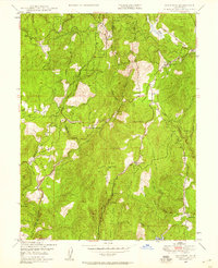
1948 Map of Rackerby
USGS Topo · Published 1958About this map
The boundary between Butte Co and Yuba Co runs through this rugged Sierra Nevada foothills landscape, documented here just after the second World War. The region is defined by a historical transition from gold mining to timber and ranching, evidenced by the Central Pacific Mine and Marysville Mine alongside numerous family homesteads like Willow Glen Ranch and Rose Ranch. The settlement of Brownsville serves as a local hub near Sharon Valley Sch, while the hamlet of Rackerby sits further west near Hansonville Hill.
Find a feature on this map
43 named features on this map. Tap any name to fly to it.
Don’t see what you’re looking for? This feature index may not catch every label — zoom into the map to look around manually.
Map Details
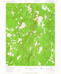
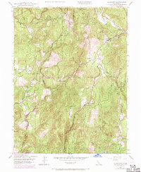
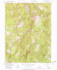
Editions of this 1948 Rackerby Map
4 editions found
Other maps of this area

1888 · Smartsville
USGS Topo · 1:125,000

1888 · Bidwell Bar
USGS Topo · 1:125,000

1891 · Bidwell Bar
USGS Topo · 1:125,000

1891 · Smartsville
USGS Topo · 1:125,000

1892 · Smartsville
USGS Topo · 1:125,000

1893 · Bidwell Bar
USGS Topo · 1:125,000

1894 · Smartsville
USGS Topo · 1:125,000

1895 · Bidwell Bar
USGS Topo · 1:125,000

1895 · Smartsville
USGS Topo · 1:125,000

1897 · Bidwell Bar
USGS Topo · 1:125,000