
1956 Map of Rader
USGS Topo · Published 1957About this map
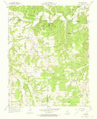
The Osage Fork Gasconade River winds through this rural landscape at the intersection of Webster, Laclede, and Wright counties. The small settlement of Rader serves as a central point in a region defined by its dispersed community structures, including the Eureka Sch and Klondike Sch. The topography is marked by numerous hollows and branches, such as Pender Hollow and Myers Branch, which dictate the placement of local roads and farmsteads.
Find a feature on this map
32 named features on this map. Tap any name to fly to it.
Don’t see what you’re looking for? This feature index may not catch every label — zoom into the map to look around manually.
Map Details
Editions of this 1956 Rader Map
2 editions found
Other maps of this area

1939 · Long Lane
USGS Topo · 1:62,500

1941 · Lebanon
USGS Topo · 1:62,500

1942 · Long Lane
USGS Topo · 1:62,500

1943 · Lebanon
USGS Topo · 1:62,500

1946 · Niangua
USGS Topo · 1:62,500

1948 · Niangua
USGS Topo · 1:62,500

1954 · Springfield
USGS Topo · 1:250,000

1956 · Duncan
USGS Topo · 1:24,000
1956 · Hartville
USGS Topo · 1:24,000
1956 · Grovespring
USGS Topo · 1:24,000