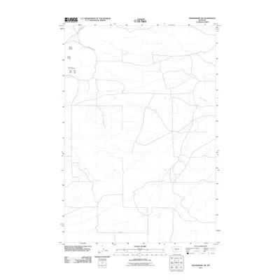
2011 Map of Radersburg SW
USGS Topo · Published 2011About this map
Mining claims and high-altitude industry characterize this region of Jefferson County, where the Montana Silver Star Mine and the Black Hawk Mine represent the area’s mineral prospects. The landscape is marked by a network of sectional operations, including the NE SE Section 8 Mine and NE NE Section 17 Mine, suggesting a history of systematic resource extraction. Access to these workings is provided by utilitarian routes such as Lone Mountain Rd and Price Rd, which navigate the terrain alongside the drainage of Spring Creek. The layout of these roads and the positioning of the Silver Star Mine reflect the logistical patterns of modern Montana mountain operations, where local thoroughfares like E and W Fraction Rd link isolated mining sites to the broader county infrastructure.
Find a feature on this map
9 named features on this map. Tap any name to fly to it.
Don’t see what you’re looking for? This feature index may not catch every label — zoom into the map to look around manually.
Map Details
Editions of this 2011 Radersburg SW Map
This is the sole edition of this map. No revisions or reprints were ever made.
Other maps of this area

1886 · Fort Logan
USGS Topo · 1:250,000

1888 · Three Forks
USGS Topo · 1:250,000

1894 · Three Forks
USGS Topo · 1:250,000

1895 · Three Forks
USGS Topo · 1:250,000

1947 · Bozeman
USGS Topo · 1:250,000

1948 · Bozeman
USGS Topo · 1:250,000

1948 · White Sulphur Springs
USGS Topo · 1:250,000

1949 · Radersburg
USGS Topo · 1:62,500

1950 · Devils Fence
USGS Topo · 1:62,500

1950 · Three Forks
USGS Topo · 1:62,500