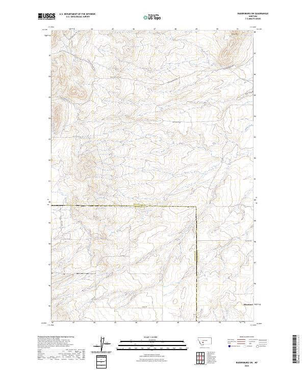
2024 Map of Radersburg SW
USGS Topo · Published 2024About this map
Lone Mtn stands as the prominent landmark in this segment of the Big Belt Mountains foothills, where the high-altitude drainage systems of Spring Creek and Salt Gulch define the local topography. This 2024 landscape is primarily characterized by its transitional terrain between the Elkhorn Mountains and the Missouri River valley, showing a network of rural access routes like Lone Mountain Rd and Salt Gulch Rd. The boundary between Broadwater and Jefferson counties bisects the quadrangle, illustrating how physical geography informs political divisions in this part of Montana. Near the southern edge, the area around Wheatland provides a focal point for understanding the sparse settlement patterns and the reliance on roads such as Price Rd for connectivity in this semi-arid environment.
Find a feature on this map
16 named features on this map. Tap any name to fly to it.
Don’t see what you’re looking for? This feature index may not catch every label — zoom into the map to look around manually.
Map Details
Editions of this 2024 Radersburg SW Map
This is the sole edition of this map. No revisions or reprints were ever made.
Other maps of this area

1886 · Fort Logan
USGS Topo · 1:250,000

1888 · Three Forks
USGS Topo · 1:250,000

1894 · Three Forks
USGS Topo · 1:250,000

1895 · Three Forks
USGS Topo · 1:250,000

1947 · Bozeman
USGS Topo · 1:250,000

1948 · Bozeman
USGS Topo · 1:250,000

1948 · White Sulphur Springs
USGS Topo · 1:250,000

1949 · Radersburg
USGS Topo · 1:62,500

1950 · Devils Fence
USGS Topo · 1:62,500

1950 · Three Forks
USGS Topo · 1:62,500