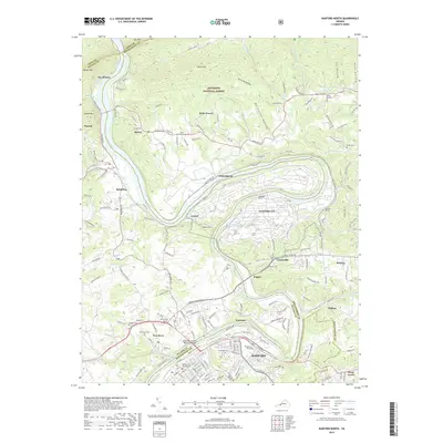
2019 Map of Radford North
USGS Topo · Published 2019About this map
Radford sits at the heart of this landscape, its urban grid and the Radford University campus anchored along a dramatic bend in the New River. The river dictates the region's geography, winding through the valley between Walker Mtn and Brush Mtn. This corridor is defined by its industrial and institutional footprint, including the expansive Radford AAP facility and critical transportation links like the Southwest Virginia Memorial Bridge and rail tunnels such as Pepper Tunnel and Milletts Tunnel.
Find a feature on this map
174 named features on this map. Tap any name to fly to it.
Don’t see what you’re looking for? This feature index may not catch every label — zoom into the map to look around manually.
Map Details
Editions of this 2019 Radford North Map
This is the sole edition of this map. No revisions or reprints were ever made.
Other maps of this area

1890 · Dublin
USGS Topo · 1:125,000

1890 · Christiansburg
USGS Topo · 1:125,000

1891 · Dublin
USGS Topo · 1:125,000

1923 · Pearisburg
USGS Topo · 1:62,500

1923 · Waiteville
USGS Topo · 1:62,500

1931 · Waiteville
USGS Topo · 1:48,000

1932 · Pearisburg
USGS Topo · 1:48,000

1932 · Blacksburg
USGS Topo · 1:48,000

1937 · Pearisburg
USGS Topo · 1:62,500

1937 · Blacksburg
USGS Topo · 1:62,500