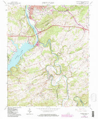
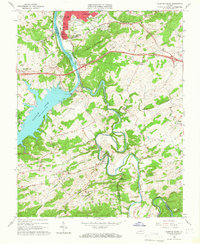
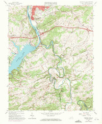
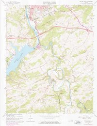
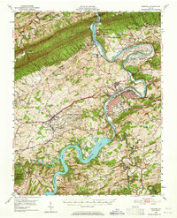
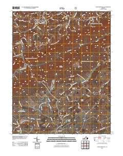
1965 Map of Radford South
USGS Topo · Published 1986About this map
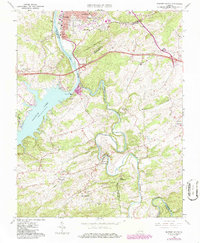
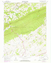
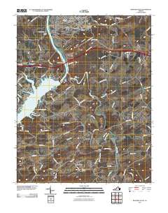
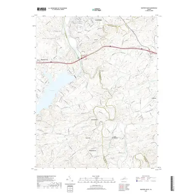
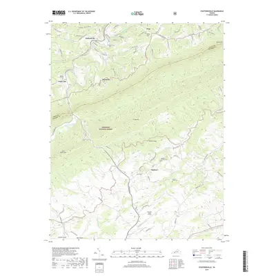
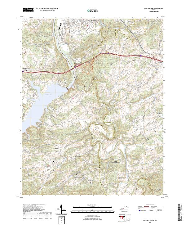
Ingles Mountain rises above the industrial and educational hub of Radford, where the Norfolk and Western railroad crosses the New River. The landscape is dominated by the hydroelectric operations at Claytor Dam, which contains the wide waters of Claytor Lake. Moving south, the terrain transitions into a dense network of rural communities such as Graysontown, Snowville, and Simpkinstown. These settlements are anchored by local institutions like the Snowville Sch and Cypress Grove Ch, reflecting the 20th-century social fabric of Pulaski and Montgomery counties. The map captures a moment of growth along the Interstate 81 corridor while maintaining the smaller community identities found at Childress and Mountain View. Along the winding Little River, various cemeteries and small churches trace the deep family roots and local history of this Blue Ridge region.
Find a feature on this map
58 named features on this map. Tap any name to fly to it.
Don’t see what you’re looking for? This feature index may not catch every label — zoom into the map to look around manually.
Map Details
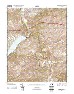
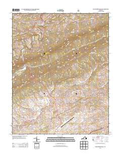
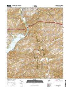
Editions of this 1965 Radford South Map
5 editions found
Historical Maps of Snowville Through Time
13 maps found
1950 Radford
Pulaski County, VA
1965 Radford South
Pulaski County, VA
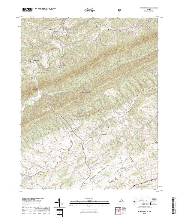
1965 Staffordsville
Pulaski County, VA
2011 Radford South
Pulaski County, VA
2011 Staffordsville
Pulaski County, VA
2013 Radford South
Pulaski County, VA
2013 Staffordsville
Pulaski County, VA
2016 Radford South
Pulaski County, VA
2016 Staffordsville
Pulaski County, VA
2019 Radford South
Pulaski County, VA
2019 Staffordsville
Pulaski County, VA
2022 Radford South
Pulaski County, VA
2022 Staffordsville
Pulaski County, VA