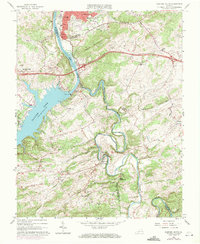
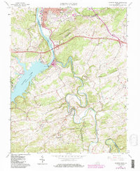
1965 Map of Radford South
USGS Topo · Published 1971About this map
The New River and the winding Little River converge just south of Radford, where the landscape transitions from industrial riverfront to the recreational expanse of Claytor Lake. This mid-century survey documents the influence of the Claytor Dam and its associated Powerplant on the regional topography, showing the Claytor Lake State Park area alongside the Norfolk and Western rail corridor. Inland, the terrain is defined by Ingles Mountain and the deep hollows of Cracker Neck. Small communities and family-named landmarks like Snowville, Graysontown, and Simpkinstown provide critical points of reference for local historians. Cultural life is anchored by numerous rural institutions, including Cypress Grove Ch, Snowville Sch, and New Mount Olive Ch, reflecting the settled social fabric of Pulaski Co and Montgomery Co during the late 1960s.
Find a feature on this map
51 named features on this map. Tap any name to fly to it.
Don’t see what you’re looking for? This feature index may not catch every label — zoom into the map to look around manually.
Map Details
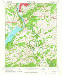
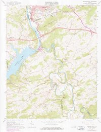
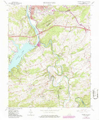
Editions of this 1965 Radford South Map
5 editions found
Other maps of this area

1889 · Hillsville
USGS Topo · 1:125,000

1890 · Dublin
USGS Topo · 1:125,000

1890 · Christiansburg
USGS Topo · 1:125,000

1891 · Dublin
USGS Topo · 1:125,000

1892 · Hillsville
USGS Topo · 1:125,000

1896 · Hillsville
USGS Topo · 1:125,000

1932 · Blacksburg
USGS Topo · 1:48,000

1937 · Blacksburg
USGS Topo · 1:62,500

1950 · Radford
USGS Topo · 1:62,500

1953 · Winston-Salem
USGS Topo · 1:250,000