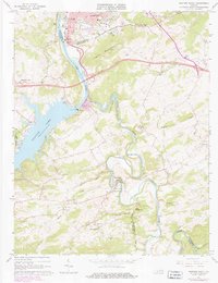
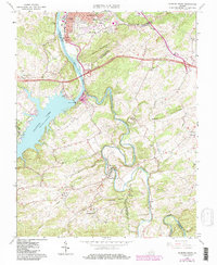
1965 Map of Radford South
USGS Topo · Published 1978About this map
Claytor Dam anchors the landscape where the New River expands into the wide reaches of Claytor Lake, creating a significant transition between riverine and reservoir geography. On the northern banks, the city of Radford displays its mid-century infrastructure, including a Filtration Plant and the Norfolk and Western rail lines. To the south, the terrain becomes more rural and intricate as the Little River winds in tight oxbows past Cracker Neck and through the community of Graysontown. This area is dotted with small settlements and focal points of local heritage like Snowville and Simpkinstown. The distribution of country churches and schools, such as Cypress Grove Ch and the Snowville Sch, reflects a dispersed settlement pattern typical of the Virginia Piedmont and Blue Ridge foothills during this era of rural electrification and post-war growth.
Find a feature on this map
55 named features on this map. Tap any name to fly to it.
Don’t see what you’re looking for? This feature index may not catch every label — zoom into the map to look around manually.
Map Details
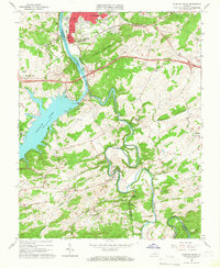
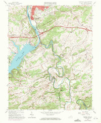
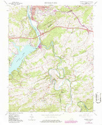
Editions of this 1965 Radford South Map
5 editions found
Other maps of this area

1889 · Hillsville
USGS Topo · 1:125,000

1890 · Dublin
USGS Topo · 1:125,000

1890 · Christiansburg
USGS Topo · 1:125,000

1891 · Dublin
USGS Topo · 1:125,000

1892 · Hillsville
USGS Topo · 1:125,000

1896 · Hillsville
USGS Topo · 1:125,000

1932 · Blacksburg
USGS Topo · 1:48,000

1937 · Blacksburg
USGS Topo · 1:62,500

1950 · Radford
USGS Topo · 1:62,500

1953 · Winston-Salem
USGS Topo · 1:250,000