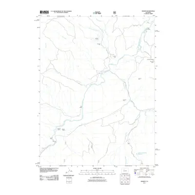
2011 Map of Radium
USGS Topo · Published 2011About this map
Radium and the surrounding high-altitude terrain are defined by the winding path of the Colorado River and a legacy of mineral extraction. Mining history is evident across the landscape, from the East Saint Louis Mine and Red Gorge Mine in the north to the Champion Mine and the curiously labeled No Name Mine further south. These sites, along with the Mitchell Mine, speak to the localized industry that once drove settlement in this part of Grand County.
Find a feature on this map
36 named features on this map. Tap any name to fly to it.
Don’t see what you’re looking for? This feature index may not catch every label — zoom into the map to look around manually.
Map Details
Editions of this 2011 Radium Map
This is the sole edition of this map. No revisions or reprints were ever made.
Other maps of this area

1933 · Mt. Powell
USGS Topo · 1:48,000

1940 · Mount Powell
USGS Topo · 1:62,500

1954 · Craig
USGS Topo · 1:250,000

1956 · Kremmling
USGS Topo · 1:62,500

1956 · Gore Pass
USGS Topo · 1:62,500

1957 · Craig
USGS Topo · 1:250,000

1957 · Leadville
USGS Topo · 1:250,000

1958 · Craig
USGS Topo · 1:250,000

1959 · Leadville
USGS Topo · 1:250,000

1960 · Leadville
USGS Topo · 1:250,000