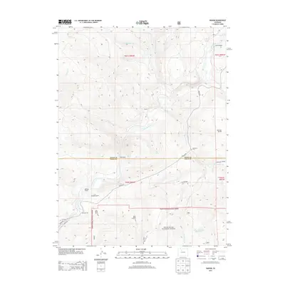
2013 Map of Radium
USGS Topo · Published 2013About this map
The Colorado River carves a deep path through this Colorado landscape, passing through the dramatic Gore Canyon and the small settlement of Radium. This 2013 survey illustrates the rugged interface between Grand and Eagle counties, where the river serves as both a geographic anchor and a primary corridor for travel and recreation. The rural character of the region is evident in the presence of Rancho Del Rio and the isolated Sheephorn Cem, located near the junction of Trough Rd and Sheephorn Creek Rd.
Find a feature on this map
32 named features on this map. Tap any name to fly to it.
Don’t see what you’re looking for? This feature index may not catch every label — zoom into the map to look around manually.
Map Details
Editions of this 2013 Radium Map
This is the sole edition of this map. No revisions or reprints were ever made.
Other maps of this area

1933 · Mt. Powell
USGS Topo · 1:48,000

1940 · Mount Powell
USGS Topo · 1:62,500

1954 · Craig
USGS Topo · 1:250,000

1956 · Kremmling
USGS Topo · 1:62,500

1956 · Gore Pass
USGS Topo · 1:62,500

1957 · Craig
USGS Topo · 1:250,000

1957 · Leadville
USGS Topo · 1:250,000

1958 · Craig
USGS Topo · 1:250,000

1959 · Leadville
USGS Topo · 1:250,000

1960 · Leadville
USGS Topo · 1:250,000