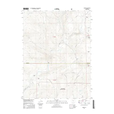
2016 Map of Radium
USGS Topo · Published 2016About this map
Radium serves as the central focal point of this mountainous terrain where the Colorado River carves through the dramatic landscape of Gore Canyon and Red Gorge. This mid-2010s survey captures the intersection of water and land, detailing the numerous drainages that feed the river, including Sheep Cr, Blacktail Cr, and Sheephorn Cr. To the south, the boundary of the White River National Forest encompasses significant elevations, including the heights around High Trail Gulch. Local history and geography are preserved through labels for family and place-named landmarks such as Hartman Divide, McPhee Gulch, and Garden Gulch. The presence of the Sheephorn Cem provides a genealogical touchstone for researchers, while infrastructure like Trough Rd and CO Rd 1 show the modern connectivity through this high-country environment.
Find a feature on this map
39 named features on this map. Tap any name to fly to it.
Don’t see what you’re looking for? This feature index may not catch every label — zoom into the map to look around manually.
Map Details
Editions of this 2016 Radium Map
This is the sole edition of this map. No revisions or reprints were ever made.
Other maps of this area

1933 · Mt. Powell
USGS Topo · 1:48,000

1940 · Mount Powell
USGS Topo · 1:62,500

1954 · Craig
USGS Topo · 1:250,000

1956 · Kremmling
USGS Topo · 1:62,500

1956 · Gore Pass
USGS Topo · 1:62,500

1957 · Craig
USGS Topo · 1:250,000

1957 · Leadville
USGS Topo · 1:250,000

1958 · Craig
USGS Topo · 1:250,000

1959 · Leadville
USGS Topo · 1:250,000

1960 · Leadville
USGS Topo · 1:250,000