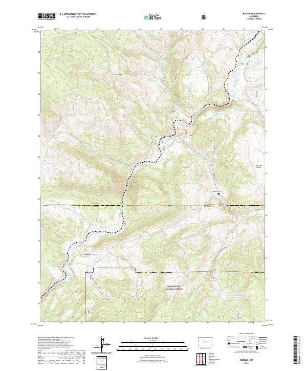
2022 Map of Radium
USGS Topo · Published 2022About this map
The Colorado River carves a deep path through this portion of the Gore Range as it flows toward the Red Gorge. The landscape is defined by its dramatic relief, from the heights of the Hartman Divide down to the drainage basins of McPhee Gulch and Garden Gulch. In the eastern section, the small settlement of Sheephorn is situated near the Sheephorn Cem, while land use is further categorized by the extensive boundaries of the White River National Forest.
Find a feature on this map
37 named features on this map. Tap any name to fly to it.
Don’t see what you’re looking for? This feature index may not catch every label — zoom into the map to look around manually.
Map Details
Editions of this 2022 Radium Map
This is the sole edition of this map. No revisions or reprints were ever made.
Other maps of this area

1933 · Mt. Powell
USGS Topo · 1:48,000

1940 · Mount Powell
USGS Topo · 1:62,500

1954 · Craig
USGS Topo · 1:250,000

1956 · Kremmling
USGS Topo · 1:62,500

1956 · Gore Pass
USGS Topo · 1:62,500

1957 · Craig
USGS Topo · 1:250,000

1957 · Leadville
USGS Topo · 1:250,000

1958 · Craig
USGS Topo · 1:250,000

1959 · Leadville
USGS Topo · 1:250,000

1960 · Leadville
USGS Topo · 1:250,000