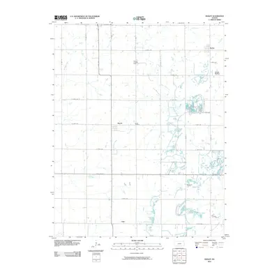
2010 Map of Radley
USGS Topo · Published 2010About this map
Beulah Cemetery and West Union Cemetery serve as important landmarks for genealogical research in this section of Crawford County. The rural landscape is defined by a rigid grid of county roads, including State Hwy 7 and State Hwy 126, which connect small communities like Radley and Beulah. This 2010 topographic representation highlights the drainage patterns of Thunderbolt Creek and Second Cow Creek, revealing how the local hydrology interacts with established agricultural plots.
Find a feature on this map
40 named features on this map. Tap any name to fly to it.
Don’t see what you’re looking for? This feature index may not catch every label — zoom into the map to look around manually.
Map Details
Editions of this 2010 Radley Map
This is the sole edition of this map. No revisions or reprints were ever made.
Other maps of this area

1884 · Fort Scott
USGS Topo · 1:125,000

1886 · Joplin
USGS Topo · 1:125,000

1886 · Fort Scott
USGS Topo · 1:125,000

1893 · Fort Scott
USGS Topo · 1:125,000

1894 · Joplin
USGS Topo · 1:125,000

1943 · Cherokee
USGS Topo · 1:62,500

1945 · Pittsburg
USGS Topo · 1:62,500

1945 · Cherokee
USGS Topo · 1:62,500

1947 · Joplin
USGS Topo · 1:250,000

1947 · Pittsburg
USGS Topo · 1:62,500