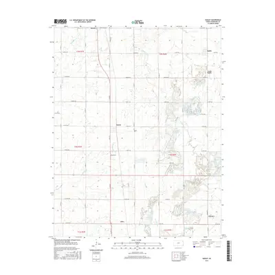
2015 Map of Radley
USGS Topo · Published 2015About this map
The agricultural and coal-mining heritage of Crawford County is written into the grid of this 2015 survey. Small settlements like Beulah and Radley anchor a landscape defined by sectional roads and the drainage patterns of Thunderbolt Cr and Second Cow Cr. To the south, the community of Chicopee sits near the edges of visible surface mining disturbances, a characteristic feature of this region's industrial history.
Find a feature on this map
49 named features on this map. Tap any name to fly to it.
Don’t see what you’re looking for? This feature index may not catch every label — zoom into the map to look around manually.
Map Details
Editions of this 2015 Radley Map
This is the sole edition of this map. No revisions or reprints were ever made.
Other maps of this area

1884 · Fort Scott
USGS Topo · 1:125,000

1886 · Joplin
USGS Topo · 1:125,000

1886 · Fort Scott
USGS Topo · 1:125,000

1893 · Fort Scott
USGS Topo · 1:125,000

1894 · Joplin
USGS Topo · 1:125,000

1943 · Cherokee
USGS Topo · 1:62,500

1945 · Pittsburg
USGS Topo · 1:62,500

1945 · Cherokee
USGS Topo · 1:62,500

1947 · Joplin
USGS Topo · 1:250,000

1947 · Pittsburg
USGS Topo · 1:62,500