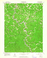
1962 Map of Radnor
USGS Topo · Published 1964About this map
West Fork Twelvepole Creek winds through a deeply dissected landscape of ridges and hollows in Wayne County during the early 1960s. This survey illustrates a rural Appalachian pattern of ridge-top schools and creek-bottom settlements, where life centered on small communities like Genoa, Radnor, and Dunlow. The map is particularly dense with family-named burial grounds and local landmarks, documenting a genealogy of names such as the Watts and Perry Cem, Marilyn Napier Cem, and Dan Wallace Cem. Educational life is marked by the presence of the Lycans Ridge Sch and Billy Branch Sch, while religious centers like Mill Creek Ch and Bethel Ch served the surrounding hollows. To the south, the extensive boundaries of the Cabwaylingo State Forest appear near Hooker Knob, marking a transition from private homesteads to protected timberland.
Find a feature on this map
101 named features on this map. Tap any name to fly to it.
Don’t see what you’re looking for? This feature index may not catch every label — zoom into the map to look around manually.
Map Details
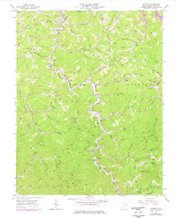
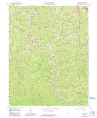
Editions of this 1962 Radnor Map
3 editions found
Other maps of this area

1886 · Prestonsburg
USGS Topo · 1:125,000

1887 · Warfield
USGS Topo · 1:125,000

1891 · Warfield
USGS Topo · 1:125,000

1892 · Prestonsburg
USGS Topo · 1:125,000

1892 · Huntington
USGS Topo · 1:125,000

1898 · Huntington
USGS Topo · 1:125,000

1903 · Kenova
USGS Topo · 1:125,000

1904 · Kenova
USGS Topo · 1:125,000

1909 · Wayne
USGS Topo · 1:62,500

1910 · Naugatuck
USGS Topo · 1:48,000