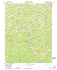
1962 Map of Radnor
USGS Topo · Published 1989About this map
The West Fork Twelvepole Creek carves a deep path through the heart of Wayne County, serving as the primary corridor for settlement and transit. In this 1962 landscape, the village of Radnor and the smaller community of Genoa occupy the valley floor, connected by winding roads that shadow the water's edge. The region’s coal and gas resources are evident through numerous Gas Wells and a Strip Mine located near Grassy Fork. The Southern portion of the map is dominated by the Cabwaylingo State Forest, while the northeast reflects the impact of the East Lynn Lake project. Genealogy researchers will find numerous family burial grounds scattered across the ridges, including the Dad Wallace Cem, Perry Memorial Cem, and Marilyn Napier Cem, alongside rural social hubs like Bethel Ch and the Billy Branch Sch.
Find a feature on this map
108 named features on this map. Tap any name to fly to it.
Don’t see what you’re looking for? This feature index may not catch every label — zoom into the map to look around manually.
Map Details
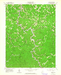
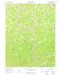
Editions of this 1962 Radnor Map
3 editions found
Other maps of this area

1886 · Prestonsburg
USGS Topo · 1:125,000

1887 · Warfield
USGS Topo · 1:125,000

1891 · Warfield
USGS Topo · 1:125,000

1892 · Prestonsburg
USGS Topo · 1:125,000

1892 · Huntington
USGS Topo · 1:125,000

1898 · Huntington
USGS Topo · 1:125,000

1903 · Kenova
USGS Topo · 1:125,000

1904 · Kenova
USGS Topo · 1:125,000

1909 · Wayne
USGS Topo · 1:62,500

1910 · Naugatuck
USGS Topo · 1:48,000