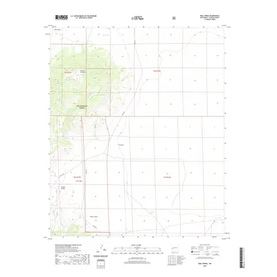
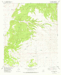
2020 Map of Rael Spring
USGS Topo · Published 2020About this map
The Tularosa Mountains dominate this high-altitude landscape within the Gila National Forest, where water management is the primary sign of human modification. Numerous artificial reservoirs, including Peak Tank, Rael Canyon Tank, and the curiously named Jeep Tank, are strategically positioned to capture runoff from the surrounding peaks and steep drainages like Dark Canyon and Sawmill Canyon. This network of tanks suggests a focus on livestock ranching or wildlife support in a land where reliable surface water is scarce.
Find a feature on this map
20 named features on this map. Tap any name to fly to it.
Don’t see what you’re looking for? This feature index may not catch every label — zoom into the map to look around manually.
Map Details
Editions of this 2020 Rael Spring Map
This is the sole edition of this map. No revisions or reprints were ever made.
Other maps of this area

1918 · Pelona
USGS Topo · 1:125,000

1954 · Clifton
USGS Topo · 1:250,000

1957 · Clifton
USGS Topo · 1:250,000

1958 · Clifton
USGS Topo · 1:250,000

1962 · Clifton
USGS Topo · 1:250,000

1981 · Fullerton
USGS Topo · 1:24,000
1981 · Bell Peak
USGS Topo · 1:24,000
1981 · Horse Mountain West
USGS Topo · 1:24,000
1981 · Collins Park
USGS Topo · 1:24,000
1981 · Rail Canyon
USGS Topo · 1:24,000