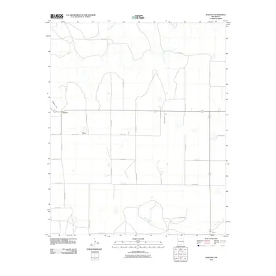
2010 Map of Ragland
USGS Topo · Published 2010About this map
Ragland stands atop the high plains of Quay County, marking a landscape defined by an orderly grid of rural roads and scattered cattle country. The terrain is dramatically shaped by Ragland Hill, which separates the elevated plateau from the drainage basins of Blanco Creek and Barranca Creek. This high-desert environment shows a sparse settlement pattern characteristic of eastern New Mexico, where the small community of Rush and the southern area of Stewart provide local landmarks for surrounding ranchlands. Genealogists and local historians will find the Prater Cemetery located near Quay Road 38, a quiet marker of the families who settled this region. The map tracks the transition from open mesas to the winding creek beds that break the geometric precision of the county road system.
Find a feature on this map
24 named features on this map. Tap any name to fly to it.
Don’t see what you’re looking for? This feature index may not catch every label — zoom into the map to look around manually.
Map Details
Editions of this 2010 Ragland Map
This is the sole edition of this map. No revisions or reprints were ever made.
Other maps of this area

1954 · Clovis
USGS Topo · 1:250,000

1958 · Clovis
USGS Topo · 1:250,000

1970 · Jordan
USGS Topo · 1:24,000

1970 · Quay
USGS Topo · 1:24,000

1971 · Ragland
USGS Topo · 1:24,000
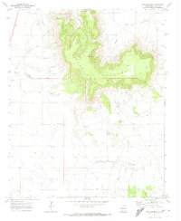
1971 · Mesa Redonda
USGS Topo · 1:24,000
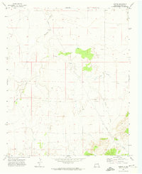
1971 · Norton
USGS Topo · 1:24,000

1971 · Forrest
USGS Topo · 1:24,000

1973 · Weber City
USGS Topo · 1:24,000

1973 · Mc Alister
USGS Topo · 1:24,000