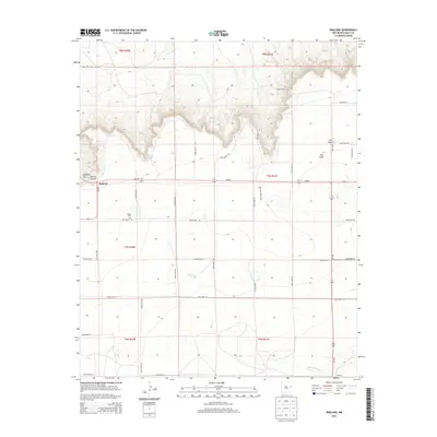
2013 Map of Ragland
USGS Topo · Published 2013About this map
Ragland Hill and the deep incision of Rincon Canyon dominate the northwestern topography of this Quay County landscape. The settlement of Ragland sits at the junction of NM-252 and NM-209, serving as a central point for the surrounding agricultural and ranching grid. The terrain is defined by the sharp escarpment that separates the high plains from the drainages of Barranca Cr to the north and Blanco Cr and Frio Draw to the south. Local history is anchored by sites like Prater Cem and the small community of Stewart in the southeast corner. The map reveals an extensive network of rural routes, including Quay Road 36 and Quay Road AM, which illustrate the organized land use of the High Plains during the early 21st century.
Find a feature on this map
35 named features on this map. Tap any name to fly to it.
Don’t see what you’re looking for? This feature index may not catch every label — zoom into the map to look around manually.
Map Details
Editions of this 2013 Ragland Map
This is the sole edition of this map. No revisions or reprints were ever made.
Other maps of this area

1954 · Clovis
USGS Topo · 1:250,000

1958 · Clovis
USGS Topo · 1:250,000

1970 · Jordan
USGS Topo · 1:24,000

1970 · Quay
USGS Topo · 1:24,000

1971 · Ragland
USGS Topo · 1:24,000
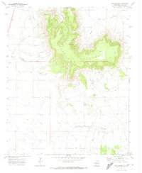
1971 · Mesa Redonda
USGS Topo · 1:24,000
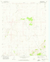
1971 · Norton
USGS Topo · 1:24,000

1971 · Forrest
USGS Topo · 1:24,000

1973 · Weber City
USGS Topo · 1:24,000

1973 · Mc Alister
USGS Topo · 1:24,000