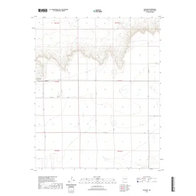
2020 Map of Ragland
USGS Topo · Published 2020About this map
Ragland occupies a prominent position in this High Plains landscape, situated near the dramatic topographic drop-off of Ragland Hill and the branching drainage of Rincon Canyon. The map reveals a highly structured rural grid defined by the Public Land Survey System, with township lines like t7n r30e and t8n r31e organizing the territory into distinct sections. This geometric layout is mirrored by the county's transportation network, where local routes such as Quay Road 38 and Quay Road AJ follow section lines across the plateau.
Find a feature on this map
19 named features on this map. Tap any name to fly to it.
Don’t see what you’re looking for? This feature index may not catch every label — zoom into the map to look around manually.
Map Details
Editions of this 2020 Ragland Map
This is the sole edition of this map. No revisions or reprints were ever made.
Other maps of this area

1954 · Clovis
USGS Topo · 1:250,000

1958 · Clovis
USGS Topo · 1:250,000

1970 · Jordan
USGS Topo · 1:24,000

1970 · Quay
USGS Topo · 1:24,000

1971 · Ragland
USGS Topo · 1:24,000
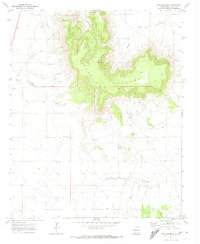
1971 · Mesa Redonda
USGS Topo · 1:24,000
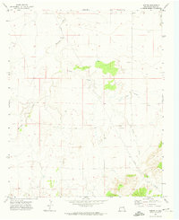
1971 · Norton
USGS Topo · 1:24,000

1971 · Forrest
USGS Topo · 1:24,000

1973 · Weber City
USGS Topo · 1:24,000

1973 · Mc Alister
USGS Topo · 1:24,000