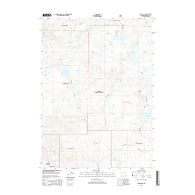
2015 Map of Raid Lake
USGS Topo · Published 2015About this map
Bridger National Forest defines this high-altitude landscape in the Wind River Range, where a complex network of glacial lakes and alpine drainage systems dominates the terrain. The central high point of Mitchells Nipple overlooks a cluster of water bodies including Raid Lake, South Fork Lake, and Dream Lake. Transportation through this wilderness is restricted to non-motorized routes like the Highline and Lowline trails, which track the varying elevations of the plateau. The hydrology of the region is notably intricate, with Boulder Creek and its southern and middle forks carving through the northern section, while Sylvan Creek feeds a chain of alpine pools such as Upper Sylvan Lake and Lower Sylvan Lake. This 2015 survey details a remote ecosystem where geological features like Knob Lakes and the expansive Scab Creek area remain largely untouched by permanent settlement.
Find a feature on this map
55 named features on this map. Tap any name to fly to it.
Don’t see what you’re looking for? This feature index may not catch every label — zoom into the map to look around manually.
Map Details
Editions of this 2015 Raid Lake Map
This is the sole edition of this map. No revisions or reprints were ever made.
Other maps of this area

1938 · Mt Bonneville
USGS Topo · 1:62,500

1941 · Mt Bonneville
USGS Topo · 1:62,500

1942 · Mt Bonneville
USGS Topo · 1:62,500

1955 · Lander
USGS Topo · 1:250,000

1958 · Lander
USGS Topo · 1:250,000

1961 · Lander
USGS Topo · 1:250,000

1964 · Fremont Butte
USGS Topo · 1:24,000
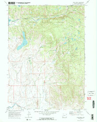
1968 · Scab Creek
USGS Topo · 1:24,000
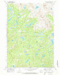
1968 · Horseshoe Lake
USGS Topo · 1:24,000

1969 · Pocket Creek Lake
USGS Topo · 1:24,000