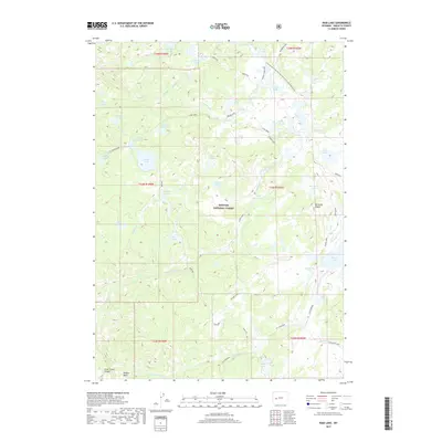
2017 Map of Raid Lake
USGS Topo · Published 2017About this map
Bridger National Forest defines this high-elevation landscape in the Wind River Range, characterized by a dense network of alpine lakes and glacial drainage systems. The Continental Divide National Scenic Trail winds through the northeastern quadrant, passing near Raid Lake and the South Fork Lake. The terrain is marked by significant vertical relief, from the depths of Silver Creek Canyon in the southwest to the distinctive peak of Mitchells Nipple in the east. Numerous water bodies such as Lightning Lakes, Scab Lake, and Monroe Lake suggest a complex hydrology shaped by the surrounding peaks. Historical transport routes like the Scab Creek and Sylvan Lake trails provide access to these remote reaches, while Willow Basin offers a relatively level area amidst the high-altitude topography of Sublette County.
Find a feature on this map
55 named features on this map. Tap any name to fly to it.
Don’t see what you’re looking for? This feature index may not catch every label — zoom into the map to look around manually.
Map Details
Editions of this 2017 Raid Lake Map
This is the sole edition of this map. No revisions or reprints were ever made.
Other maps of this area

1938 · Mt Bonneville
USGS Topo · 1:62,500

1941 · Mt Bonneville
USGS Topo · 1:62,500

1942 · Mt Bonneville
USGS Topo · 1:62,500

1955 · Lander
USGS Topo · 1:250,000

1958 · Lander
USGS Topo · 1:250,000

1961 · Lander
USGS Topo · 1:250,000

1964 · Fremont Butte
USGS Topo · 1:24,000
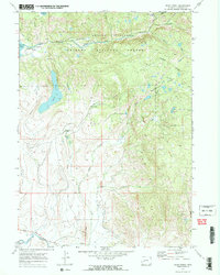
1968 · Scab Creek
USGS Topo · 1:24,000
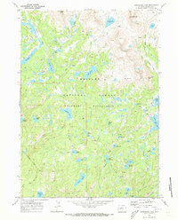
1968 · Horseshoe Lake
USGS Topo · 1:24,000

1969 · Pocket Creek Lake
USGS Topo · 1:24,000