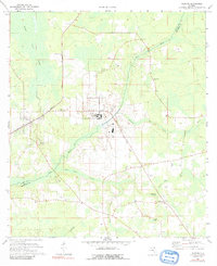
1970 Map of Raiford
USGS Topo · Published 1991About this map
The Florida State Prison dominates the central landscape of this Union County survey, surrounded by the wetlands and timberlands of north-central Florida. The town of Raiford is positioned at a junction of the Seaboard Coast Line railroad, which cuts through the western portion of the quadrangle. Outside the institutional grounds, the area is defined by small rural settlements and numerous family and community burial sites, including Pine Grove Cem, Sapp Cem, and Dyal Cem.
Find a feature on this map
27 named features on this map. Tap any name to fly to it.
Don’t see what you’re looking for? This feature index may not catch every label — zoom into the map to look around manually.
Map Details
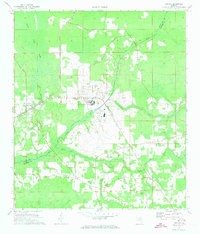
Editions of this 1970 Raiford Map
2 editions found
Other maps of this area

1918 · Lawtey
USGS Topo · 1:62,500

1941 · Starke
USGS Topo · 1:62,500

1948 · Starke
USGS Topo · 1:50,000

1949 · Sampson
USGS Topo · 1:24,000

1949 · Starke
USGS Topo · 1:24,000

1949 · Starke
USGS Topo · 1:62,500

1954 · Gainesville
USGS Topo · 1:250,000

1954 · Valdosta
USGS Topo · 1:250,000

1958 · Valdosta
USGS Topo · 1:250,000

1958 · Gainesville
USGS Topo · 1:250,000