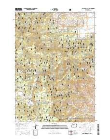
2014 Map of Rail Creek Butte
USGS Topo · Published 2014About this map
Malhuer National Forest defines the character of this 2014 survey, which reveals a complex network of forest development roads and natural water sources across eastern Oregon. The terrain is anchored by the prominent Rail Creek Butte and marked by numerous remote water features, including Officer Springs, Laycock Spring, and Gibb Spring. These reliable points of water have long supported both local wildlife and human activity in the high country.
Find a feature on this map
35 named features on this map. Tap any name to fly to it.
Don’t see what you’re looking for? This feature index may not catch every label — zoom into the map to look around manually.
Map Details
Editions of this 2014 Rail Creek Butte Map
This is the sole edition of this map. No revisions or reprints were ever made.
Other maps of this area

1955 · Burns
USGS Topo · 1:250,000

1955 · Canyon City
USGS Topo · 1:250,000

1958 · Burns
USGS Topo · 1:250,000

1959 · Burns
USGS Topo · 1:250,000

1959 · Canyon City
USGS Topo · 1:250,000

1959 · West Myrtle Butte
USGS Topo · 1:62,500

1961 · Calamity Butte
USGS Topo · 1:62,500

1961 · Logdell
USGS Topo · 1:62,500

1961 · Seneca
USGS Topo · 1:62,500

1978 · John Day
USGS Topo · 1:100,000