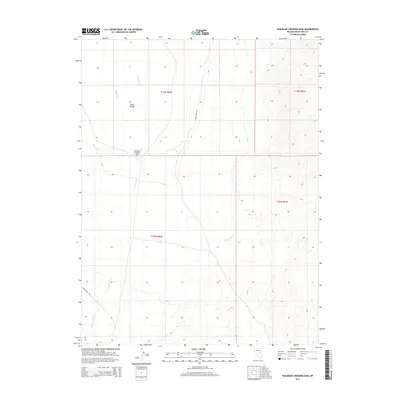
2014 Map of Railroad Crossing Dam
USGS Topo · Published 2014About this map
Jakes Valley dominates the basin landscape of White Pine County in this 2014 survey. The area is defined by its intermittent drainage systems, notably the north-south flow of Circle Wash and the meandering paths of Jakes Wash and Hayden Cr. These natural watercourses are central to the region's geography, with Deadman Wash appearing in the southwestern corner.
Find a feature on this map
12 named features on this map. Tap any name to fly to it.
Don’t see what you’re looking for? This feature index may not catch every label — zoom into the map to look around manually.
Map Details
Editions of this 2014 Railroad Crossing Dam Map
This is the sole edition of this map. No revisions or reprints were ever made.
Other maps of this area

1949 · Treasure Hill
USGS Topo · 1:62,500

1950 · Treasure Hill
USGS Topo · 1:62,500

1951 · Illipah
USGS Topo · 1:62,500

1956 · Ely
USGS Topo · 1:250,000

1958 · Reipetown
USGS Topo · 1:24,000

1958 · Giroux Wash
USGS Topo · 1:24,000

1959 · Ely
USGS Topo · 1:250,000

1959 · Reipetown
USGS Topo · 1:62,500

1959 · Preston Reservoir
USGS Topo · 1:62,500

1963 · Ely
USGS Topo · 1:250,000