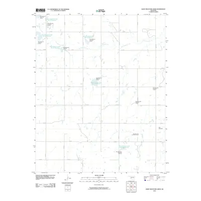
2010 Map of Rainy Mountain Creek
USGS Topo · Published 2010About this map
Rainy Mountain Creek winds through this Kiowa County landscape, defined by an extensive network of flood control structures and reservoirs constructed during the late 20th century. The waterway is punctuated by numerous named sites, including Rainy Mountain Creek Site 19 Reservoir and Rainy Mountain Creek Site 25 Reservoir, each managed by its own respective dam. This engineered drainage system illustrates a sophisticated approach to water management in the Oklahoma plains, where small-scale impoundments like Rainy Mountain Creek Site 15-B Reservoir serve as critical infrastructure against erosion and flooding.
Find a feature on this map
32 named features on this map. Tap any name to fly to it.
Don’t see what you’re looking for? This feature index may not catch every label — zoom into the map to look around manually.
Map Details
Editions of this 2010 Rainy Mountain Creek Map
This is the sole edition of this map. No revisions or reprints were ever made.
Other maps of this area

1949 · Cooperton
USGS Topo · 1:62,500

1955 · Lawton
USGS Topo · 1:250,000

1955 · Clinton
USGS Topo · 1:250,000

1956 · Glen Mountains
USGS Topo · 1:24,000

1956 · Cooperton
USGS Topo · 1:24,000

1956 · Unap Mountain
USGS Topo · 1:24,000

1956 · Rainy Mountain Creek
USGS Topo · 1:24,000

1956 · Cooperton
USGS Topo · 1:62,500

1957 · Clinton
USGS Topo · 1:250,000

1961 · Gotebo
USGS Topo · 1:62,500