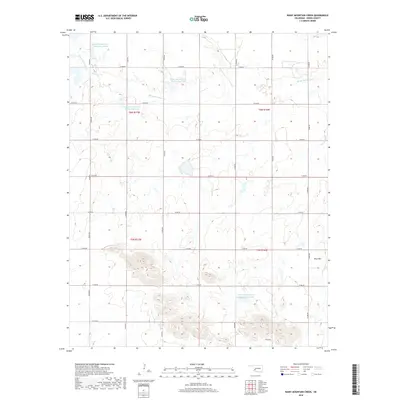
2018 Map of Rainy Mountain Creek
USGS Topo · Published 2018About this map
Rainy Mountain Creek winds through this section of Kiowa County, shaping a landscape defined by water management and topography. This 2018 survey reveals a system of coordinated water resources, including the Rainy Mountain Cr Site 21, Site 24, Site 25, and Site 15-B reservoirs. These features suggest an emphasis on flood control or agricultural irrigation within the t6n r17w and t5n r16w townships. The most prominent natural landmark is Blue Mountain, which rises in the southeastern corner of the quadrangle. A structured grid of section roads, such as N2240 Road and E1400 Road, facilitates travel across the rural terrain, connecting the high points with the low-lying creek beds.
Find a feature on this map
24 named features on this map. Tap any name to fly to it.
Don’t see what you’re looking for? This feature index may not catch every label — zoom into the map to look around manually.
Map Details
Editions of this 2018 Rainy Mountain Creek Map
This is the sole edition of this map. No revisions or reprints were ever made.
Other maps of this area

1949 · Cooperton
USGS Topo · 1:62,500

1955 · Lawton
USGS Topo · 1:250,000

1955 · Clinton
USGS Topo · 1:250,000

1956 · Glen Mountains
USGS Topo · 1:24,000

1956 · Cooperton
USGS Topo · 1:24,000

1956 · Unap Mountain
USGS Topo · 1:24,000

1956 · Rainy Mountain Creek
USGS Topo · 1:24,000

1956 · Cooperton
USGS Topo · 1:62,500

1957 · Clinton
USGS Topo · 1:250,000

1961 · Gotebo
USGS Topo · 1:62,500