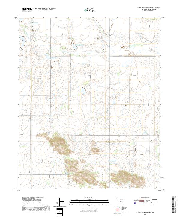
2022 Map of Rainy Mountain Creek
USGS Topo · Published 2022About this map
Rainy Mountain Cr defines the drainage of this Kiowa County landscape, where the prairie topography is managed through several flood-control structures including the Rainy Mountain Cr Site 24 Reservoir, Rainy Mountain Cr Site 25 Reservoir, and Rainy Mountain Cr Site 15-B Reservoir. The terrain is characterized by the section-line road grid common to the Great Plains, where routes like E1400 Rd and N2240 Rd mark the legacy of the Public Land Survey System. High ground is found at Blue Mtn in the southeast, providing a distinct landmark in an area otherwise dominated by agriculture and watershed management. The map reflects the enduring rural character of southwestern Oklahoma, documenting the precise intersection of natural watercourses and the rigid human geometry of township and range boundaries.
Find a feature on this map
23 named features on this map. Tap any name to fly to it.
Don’t see what you’re looking for? This feature index may not catch every label — zoom into the map to look around manually.
Map Details
Editions of this 2022 Rainy Mountain Creek Map
This is the sole edition of this map. No revisions or reprints were ever made.
Other maps of this area

1949 · Cooperton
USGS Topo · 1:62,500

1955 · Lawton
USGS Topo · 1:250,000

1955 · Clinton
USGS Topo · 1:250,000

1956 · Glen Mountains
USGS Topo · 1:24,000

1956 · Cooperton
USGS Topo · 1:24,000

1956 · Unap Mountain
USGS Topo · 1:24,000

1956 · Rainy Mountain Creek
USGS Topo · 1:24,000

1956 · Cooperton
USGS Topo · 1:62,500

1957 · Clinton
USGS Topo · 1:250,000

1961 · Gotebo
USGS Topo · 1:62,500