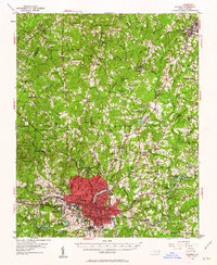
1951 Map of Raleigh
USGS Topo · Published 1962About this map
Raleigh centers this mid-century portrait of Wake County, reflecting a capital city defined by institutional growth and a dense network of rural communities. The map highlights significant civic and educational landmarks, including Meredith College, the State Fairgrounds, and the State Prison Farm, while the urban core is serviced by the Seaboard Air Line and Norfolk Southern railroads. Beyond the city limits, the landscape transitions into established townships like Barton Creek and St Matthews, characterized by numerous country churches such as Union Grove Ch and New Bethel Ch. The presence of Lassiters Mill on Crabtree Creek and schools like Lovely Hill Sch and Jeffries Sch points to a decentralized social life where small crossroads like Six Forks and Millbrook served as vital local hubs before the era of modern suburban expansion.
Find a feature on this map
100 named features on this map. Tap any name to fly to it.
Don’t see what you’re looking for? This feature index may not catch every label — zoom into the map to look around manually.
Map Details
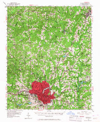
Editions of this 1951 Raleigh Map
3 editions found
Other maps of this area

1943 · Durham South
USGS Topo · 1:62,500

1943 · Raleigh
USGS Topo · 1:62,500

1943 · Creedmoor
USGS Topo · 1:62,500

1944 · Creedmoor
USGS Topo · 1:62,500

1951 · Raleigh
USGS Topo · 1:62,500

1951 · Durham South
USGS Topo · 1:62,500

1951 · Durham North
USGS Topo · 1:62,500

1953 · Raleigh
USGS Topo · 1:250,000

1953 · Greensboro
USGS Topo · 1:250,000

1954 · Greensboro
USGS Topo · 1:250,000