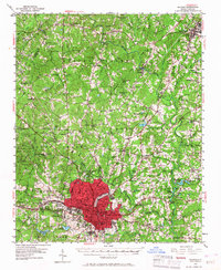
1951 Map of Raleigh
USGS Topo · Published 1967About this map
The State Capitol and the urban core of Raleigh anchor the southern portion of this mid-century survey, surrounded by a transition from dense city blocks to the agrarian landscapes of Wake County. Academic and institutional grounds like Meredith College, the State Prison Farm, and the State Fairgrounds define the western periphery. Beyond the city, small crossroads and settlements such as Method, Nazareth, and Six Forks are connected by a network of rural roads and the rail lines of the Seaboard Air Line and Norfolk Southern.
Find a feature on this map
108 named features on this map. Tap any name to fly to it.
Don’t see what you’re looking for? This feature index may not catch every label — zoom into the map to look around manually.
Map Details
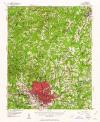
Editions of this 1951 Raleigh Map
3 editions found
Other maps of this area

1943 · Durham South
USGS Topo · 1:62,500

1943 · Raleigh
USGS Topo · 1:62,500

1943 · Creedmoor
USGS Topo · 1:62,500

1944 · Creedmoor
USGS Topo · 1:62,500

1951 · Raleigh
USGS Topo · 1:62,500

1951 · Durham South
USGS Topo · 1:62,500

1951 · Durham North
USGS Topo · 1:62,500

1953 · Raleigh
USGS Topo · 1:250,000

1953 · Greensboro
USGS Topo · 1:250,000

1954 · Greensboro
USGS Topo · 1:250,000