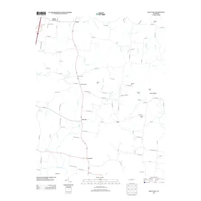
2013 Map of Rally Hill
USGS Topo · Published 2013About this map
Rally Hill and Pottsville anchor this rural Tennessee landscape, where the meandering Duck River shapes the southern border at Tugas Bend. The region is defined by a dense network of country roads named for local families and landmarks, such as Smith Cemetery Rd, Green Schoolhouse Rd, and Childress Cemetery Rd. These names hint at the deep genealogical roots of small communities like Duplex, Lees Corner, and Lively.
Find a feature on this map
99 named features on this map. Tap any name to fly to it.
Don’t see what you’re looking for? This feature index may not catch every label — zoom into the map to look around manually.
Map Details
Editions of this 2013 Rally Hill Map
This is the sole edition of this map. No revisions or reprints were ever made.
Other maps of this area

1909 · Franklin
USGS Topo · 1:62,500

1936 · Chapel Hill
USGS Topo · 1:24,000

1936 · Farmington
USGS Topo · 1:24,000

1936 · Verona
USGS Topo · 1:24,000

1936 · Rally Hill
USGS Topo · 1:24,000

1936 · Spring Hill
USGS Topo · 1:24,000

1936 · Carters Creek
USGS Topo · 1:24,000

1936 · Glendale
USGS Topo · 1:24,000

1936 · Bethesda
USGS Topo · 1:24,000

1941 · Carters Creek
USGS Topo · 1:24,000