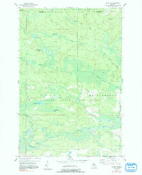
1955 Map of Ralph NE
USGS Topo · Published 1991About this map
Sturgeon River State Forest dominates this section of the Upper Peninsula, where the landscape is defined by the complex hydrology of the West Branch Escanaba River and the North Branch Ford River. This 1955 field-checked survey captures a terrain largely dedicated to timber and conservation, notably devoid of established townsites but marked by essential backcountry infrastructure. The Escanaba River Lookout Tower stands as a sentinel over the forest canopy, while the Wild Run Landing Field provides a remote aviation link to the region. Transportation is anchored by the E & L S railroad corridor, which skirts the swampy lowlands near Horseshoe Lake and Mud Lake. The boundary between Marquette Co and Dickinson Co cuts across the northern reaches, illustrating the administrative divisions within this densely wooded watershed.
Find a feature on this map
18 named features on this map. Tap any name to fly to it.
Don’t see what you’re looking for? This feature index may not catch every label — zoom into the map to look around manually.
Map Details
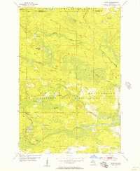
Editions of this 1955 Ralph NE Map
3 editions found
Other maps of this area

1952 · Ishpeming
USGS Topo · 1:62,500

1955 · Ralph NW
USGS Topo · 1:24,000

1955 · Ralph NE
USGS Topo · 1:24,000

1955 · Republic
USGS Topo · 1:62,500

1955 · Republic SW
USGS Topo · 1:24,000

1955 · Ralph
USGS Topo · 1:62,500

1957 · Northland
USGS Topo · 1:62,500

1958 · Marquette
USGS Topo · 1:250,000

1960 · Marquette
USGS Topo · 1:250,000

1961 · Marquette
USGS Topo · 1:250,000