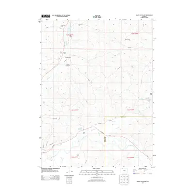
2013 Map of Ralph White Lake
USGS Topo · Published 2013About this map
The Yampa River valley and its surrounding drainage systems define this landscape on the border of Moffat and Routt counties. Water management infrastructure is prominent throughout the terrain, evidenced by an extensive network of irrigation features including the Wisconsin Ditch, Norvell Ditch, and Deep Cut Ditch. These systems support the agricultural viability of the region, specifically near Breeze Basin and along the various gulches that feed into the river system.
Find a feature on this map
49 named features on this map. Tap any name to fly to it.
Don’t see what you’re looking for? This feature index may not catch every label — zoom into the map to look around manually.
Map Details
Editions of this 2013 Ralph White Lake Map
This is the sole edition of this map. No revisions or reprints were ever made.
Other maps of this area

1910 · Danforth Hills
USGS Topo · 1:125,000

1915 · Monument Butte
USGS Topo · 1:62,500

1916 · Craig
USGS Topo · 1:125,000

1916 · Daton Peak
USGS Topo · 1:62,500

1920 · Daton Peak
USGS Topo · 1:62,500

1923 · Elkhead Creek
USGS Topo · 1:62,500

1924 · Elkhead Creek
USGS Topo · 1:62,500

1954 · Craig
USGS Topo · 1:250,000

1957 · Craig
USGS Topo · 1:250,000

1958 · Craig
USGS Topo · 1:250,000