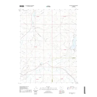
2019 Map of Ralph White Lake
USGS Topo · Published 2019About this map
The Yampa River winds through the southern reaches of this Northwest Colorado landscape, marking a transition between the wide Breeze Basin and the uplands to the north. This 2019 survey documents a complex network of water management features essential to the region, including the Wisconsin Ditch, Smith Ditch, and Brock Adair Ditch. The presence of several impoundments, most notably Ralph-White Lake and the western edge of Elk Head Reservoir, highlights the area's focus on water storage and recreation.
Find a feature on this map
50 named features on this map. Tap any name to fly to it.
Don’t see what you’re looking for? This feature index may not catch every label — zoom into the map to look around manually.
Map Details
Editions of this 2019 Ralph White Lake Map
This is the sole edition of this map. No revisions or reprints were ever made.
Other maps of this area

1910 · Danforth Hills
USGS Topo · 1:125,000

1915 · Monument Butte
USGS Topo · 1:62,500

1916 · Craig
USGS Topo · 1:125,000

1916 · Daton Peak
USGS Topo · 1:62,500

1920 · Daton Peak
USGS Topo · 1:62,500

1923 · Elkhead Creek
USGS Topo · 1:62,500

1924 · Elkhead Creek
USGS Topo · 1:62,500

1954 · Craig
USGS Topo · 1:250,000

1957 · Craig
USGS Topo · 1:250,000

1958 · Craig
USGS Topo · 1:250,000