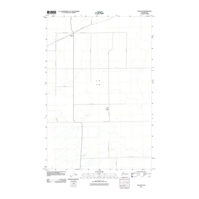
2011 Map of Ralston
USGS Topo · Published 2011About this map
Ralston and the small settlement of Bemis anchor this portion of Adams County, where the landscape is defined by an orderly grid of agricultural roads and the passage of the Lind-Ralston Rd. This 2011 survey illustrates a sparse, agrarian region where the local geography is closely tied to family names and rural waypoints. Significant for genealogical research, the Bemis Cemetery sits along N Klein Rd, serving as a central landmark for the surrounding community. The road network, including E Providence Rd and N Benzel Rd, provides a clear view of how land is partitioned and accessed in this part of Washington. The map serves as a precise record of the road names and settlement locations that have defined the area's rural identity into the 21st century.
Find a feature on this map
16 named features on this map. Tap any name to fly to it.
Don’t see what you’re looking for? This feature index may not catch every label — zoom into the map to look around manually.
Map Details
Editions of this 2011 Ralston Map
This is the sole edition of this map. No revisions or reprints were ever made.
Other maps of this area

1923 · Washtucna
USGS Topo · 1:62,500

1925 · Washtucna
USGS Topo · 1:62,500

1950 · Benge
USGS Topo · 1:62,500

1952 · Benge
USGS Topo · 1:62,500

1953 · Walla Walla
USGS Topo · 1:250,000

1953 · Ritzville
USGS Topo · 1:250,000

1958 · Walla Walla
USGS Topo · 1:250,000

1959 · Ritzville
USGS Topo · 1:250,000

1964 · Marengo
USGS Topo · 1:24,000

1965 · Ritzville
USGS Topo · 1:250,000