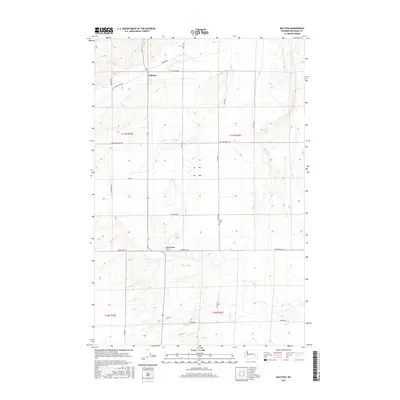
2017 Map of Ralston
USGS Topo · Published 2017About this map
Ralston serves as a central hub in this high-desert agricultural landscape, where the township and range system dictates a precise grid of rural transit. The area is characterized by vast tracts like Rattlesnake Flat, punctuated by long thoroughfares such as Providence Rd and Bauman Rd that connect isolated farmsteads and field units. The presence of the Bemis Cem near Klein Rd indicates the area's long-standing roots in early Washington state settlement history. The terrain is relatively uniform, though fine contour lines reveal the subtle drainage patterns and coulee-like formations typical of the Columbia Plateau. Local history is etched into the landscape through family-named routes such as Bierman Rd, Benzel Rd, and Herman Rd, reflecting the generational footprint of the homesteading families who developed this dryland farming region.
Find a feature on this map
23 named features on this map. Tap any name to fly to it.
Don’t see what you’re looking for? This feature index may not catch every label — zoom into the map to look around manually.
Map Details
Editions of this 2017 Ralston Map
This is the sole edition of this map. No revisions or reprints were ever made.
Other maps of this area

1923 · Washtucna
USGS Topo · 1:62,500

1925 · Washtucna
USGS Topo · 1:62,500

1950 · Benge
USGS Topo · 1:62,500

1952 · Benge
USGS Topo · 1:62,500

1953 · Walla Walla
USGS Topo · 1:250,000

1953 · Ritzville
USGS Topo · 1:250,000

1958 · Walla Walla
USGS Topo · 1:250,000

1959 · Ritzville
USGS Topo · 1:250,000

1964 · Marengo
USGS Topo · 1:24,000

1965 · Ritzville
USGS Topo · 1:250,000