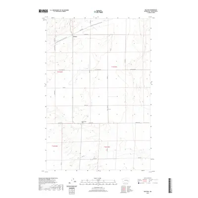
2020 Map of Ralston
USGS Topo · Published 2020About this map
Ralston serves as the primary focal point of this agricultural landscape in Adams County, situated at the intersection of several key rural thoroughfares. The terrain is defined by the broad expanse of Rattlesnake Flat to the south and the winding corridor of the Palouse To Cascades State Park Trail to the north, which follows a historical rail grade across the region. Local heritage is grounded at Bemis Cem, a small burial ground located east of the central corridor. The map reveals a highly structured grid of family-named roads, including Klein Rd, Benzel Rd, and Bierman Rd, reflecting the long-standing land divisions and farming operations of the Columbia Plateau.
Find a feature on this map
25 named features on this map. Tap any name to fly to it.
Don’t see what you’re looking for? This feature index may not catch every label — zoom into the map to look around manually.
Map Details
Editions of this 2020 Ralston Map
This is the sole edition of this map. No revisions or reprints were ever made.
Other maps of this area

1923 · Washtucna
USGS Topo · 1:62,500

1925 · Washtucna
USGS Topo · 1:62,500

1950 · Benge
USGS Topo · 1:62,500

1952 · Benge
USGS Topo · 1:62,500

1953 · Walla Walla
USGS Topo · 1:250,000

1953 · Ritzville
USGS Topo · 1:250,000

1958 · Walla Walla
USGS Topo · 1:250,000

1959 · Ritzville
USGS Topo · 1:250,000

1964 · Marengo
USGS Topo · 1:24,000

1965 · Ritzville
USGS Topo · 1:250,000