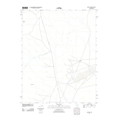
2011 Map of Ralston
USGS Topo · Published 2011About this map
Ralston sits at a junction of desert tracks and highway routes in the high Nevada basin. This 2011 survey illustrates a landscape of arid drainages and isolated uplands, dominated by the prominent China Wash which cuts diagonally across the central terrain. The topography is framed by the Goldfield Hills to the northwest and the Cuprite Hills to the southwest, highlighting the basin-and-range character of Nye County.
Find a feature on this map
6 named features on this map. Tap any name to fly to it.
Don’t see what you’re looking for? This feature index may not catch every label — zoom into the map to look around manually.
Map Details
Editions of this 2011 Ralston Map
This is the sole edition of this map. No revisions or reprints were ever made.
Other maps of this area

1908 · Lida
USGS Topo · 1:250,000

1913 · Lida
USGS Topo · 1:250,000

1945 · Goldfield
USGS Topo · 1:125,000

1952 · Goldfield
USGS Topo · 1:62,500

1954 · Goldfield
USGS Topo · 1:250,000

1955 · Goldfield
USGS Topo · 1:250,000

1958 · Goldfield
USGS Topo · 1:250,000

1962 · Goldfield
USGS Topo · 1:250,000

1968 · Stonewall Pass
USGS Topo · 1:24,000
1968 · Scottys Junction NE
USGS Topo · 1:24,000